Computer-Vision Toolbox
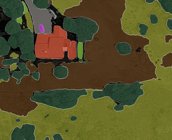
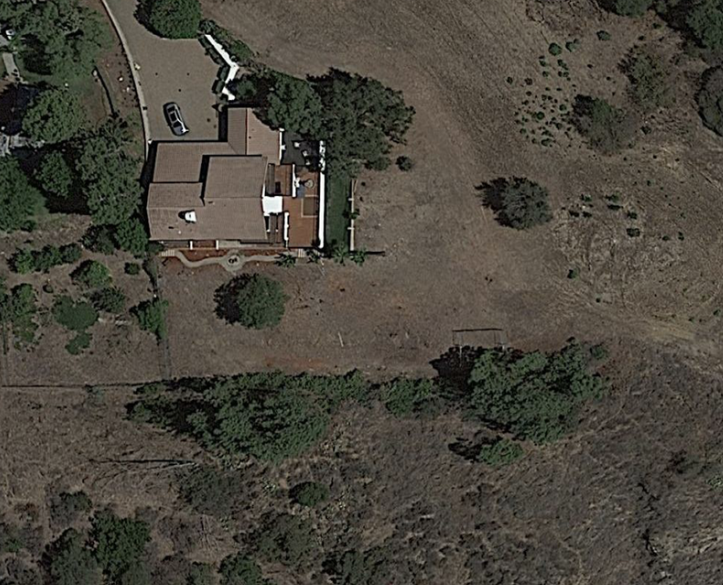
Harnessing advanced computer vision and machine learning, Terrascope transforms RGB and multispectral
aerial images into precise, actionable insights. Our models excel in detailed feature extraction,
being able to see pretty much anything a human can (and more), but much faster.
Some examples include:
Different types of vegetation, water bodies, paved and buildable areas, infrastructure, vehicles, or
different types of natural terrain like snow, sand, rocks, wetlands.
Finally, we prepare comprehensive
insights reports by integrating these detections with other data sources, such as census statistics or
client-specific data.
Schedule a free consultation session with our GIS experts to discover how our
technology can empower your decision-making.